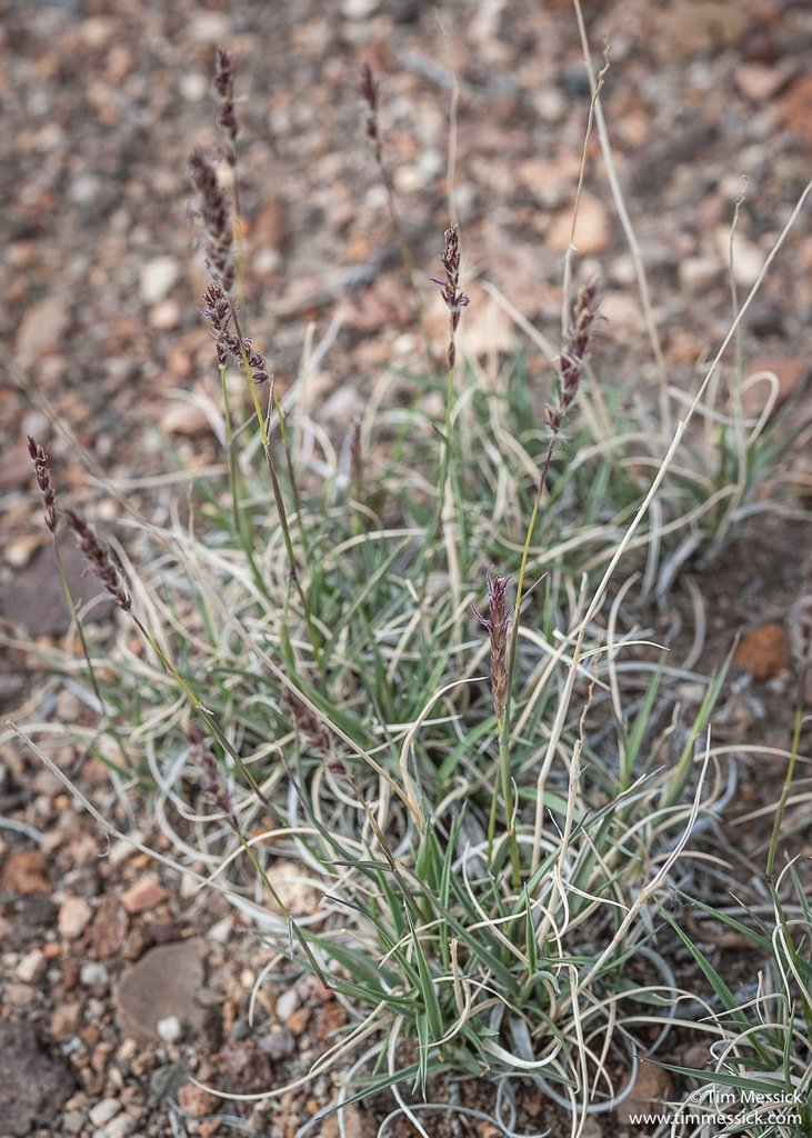
Arizona at or above 3,000 feet (AZ footprint); partial normalized coverage · 2011-12-01
AZ1289 is explicitly limited to Arizona elevations of 3,000 feet and higher. FireApproved publishes 69 exact owners as regional Arizona context, retaining every water and elevation condition. It is never promoted to statewide low-desert guidance or an independent Tier 1 vote.
2. Why this plant is relevant here
State distribution
Documented in AZ, CA, CO, KS, NM, NV, OK, TX, UT, WY.
Native range
Current cited native range in AZ, CA, CO, KS, NM, NV, OK, TX, UT, WY.
Introduced / established
USDA hardiness
Documented minimum 4b; no upper limit is documented.
3. Legal, ecological, and broader status
Legal-list status
Seed-list status
Reported invasive here
Broader regional context
Federal context
How to read this page
The status above is computed from the cited rows below: independent recommendations can support a fire-resistant result, an avoid row can produce keep-away, and disagreement stays visible as conflict. Placement notes preserve each source’s own scheme rather than translating unlike rules into one scale. This is evidence about a plant, not permission to plant it in every part of the defensible space; Zone 0 remains noncombustible.
Native and introduced range evidence
These are exact U.S. botanical-area records from the cited range source. Native and
introduced describe biogeographic relationship, not fire performance or planting approval.
Doubtful and extinct rows stay visible but do not count as current presence.
The lossless worldwide derivative is retained once in the research corpus; object pages repeat only exact U.S. areas needed by the local lens. The JSON twin carries the same page assertions.
Plant hardiness evidence
These values describe the plant source. Your ZIP zone comes from the separate 2023 USDA
Plant Hardiness Zone Map. Whole-zone values stay whole-zone, and a single unresolved value
is not treated as a tolerance range. Different source boundaries stay separate: overlapping
statements are compared independently, while only ranges with no shared zone are called a conflict.
Source location: PlantCharacteristics record 24822, Temperature, Minimum (°F).
The evidence
Grouped by what each source concluded. Primary evidence rated the plant itself
(a lab, field program, or original curation); corroboration compiled or
republished another source's rating and resolves to its root lineage.